Property Lines on Aerial Photos: How Boundary Overlays Help Sell Florida Land
The first question every land buyer asks is where the property starts and ends. A boundary overlay on a drone photo answers it before they call.
Property Lines on Aerial Photos: How Boundary Overlays Help Sell Florida Land
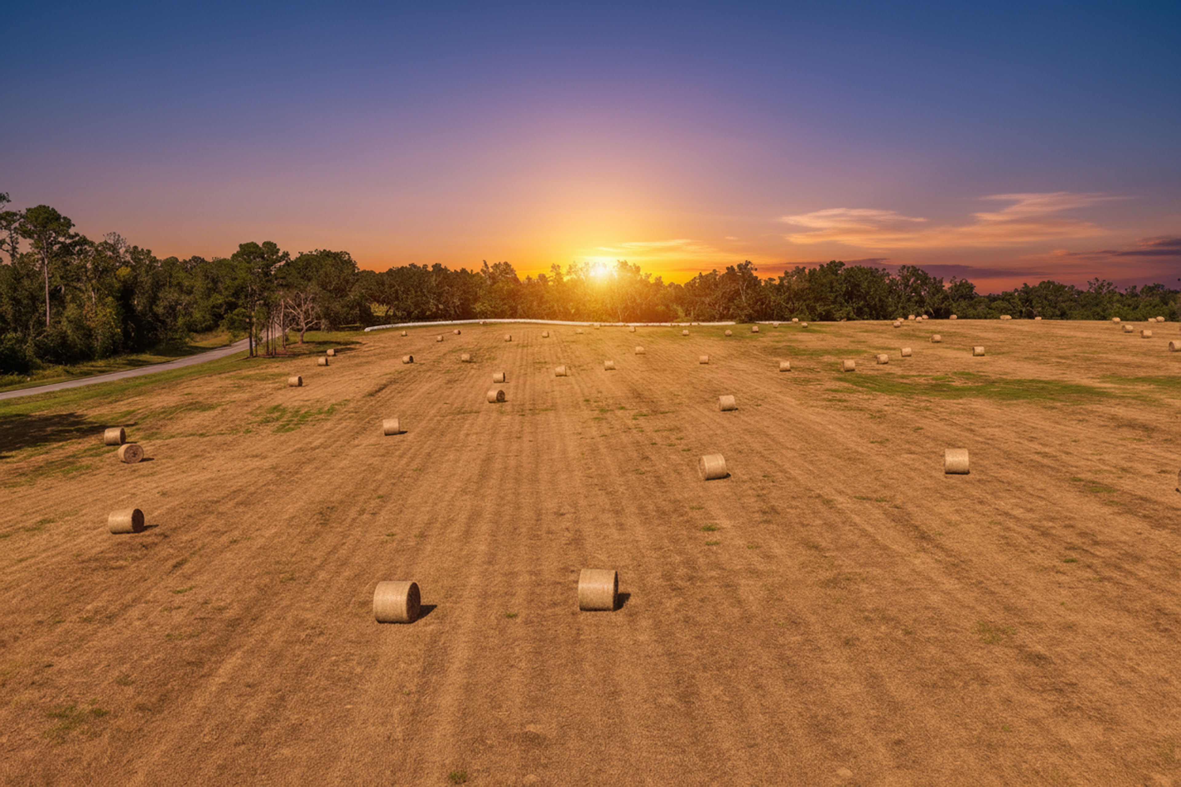
Ask any agent who sells land in North Florida what buyers want to know first, and the answer is the same: where are the property lines? A ten-acre tract in Levy County or a forty-acre parcel in Gilchrist County can look like a sea of trees from the road. Without a clear picture of the boundaries, buyers either guess or call, and many simply scroll past.
A boundary overlay on an aerial photo solves that. It is one of the most useful images you can put on a land listing.
What a boundary overlay is
We fly the property with a drone, then draw the parcel boundary on the photo as a clear colored line. The buyer sees the whole tract in context: the road frontage, the tree lines, the neighbors, the pond in the corner and exactly which parts are included.
The lines come from public parcel data, the same maps the county property appraiser publishes. We line them up with what we can see on the ground, such as fences, driveways, road edges and corner clearings, so the overlay sits where it should.
How accurate is it?
Parcel maps are close, not exact. They are not a survey. That is why every boundary photo we deliver carries a note that property lines are approximate. Buyers understand that, and it protects you and your seller. When a buyer needs exact lines, that is a job for a licensed surveyor.
What the overlay does well is answer the big questions quickly:
- Is the pond on this property or the neighbor's?
- How much road frontage is there?
- Is the cleared area inside the lines?
- How far back does the property go?
What else to mark on land photos
The boundary is the start. These callouts help buyers understand a property in seconds:
- Road access and driveways, especially on parcels with frontage on more than one road.
- Water: ponds, creeks, springs and wetlands.
- Clearings and building sites, so buyers can picture where a house or barn could go.
- Utilities where they are visible, such as power poles along the road.
- Nearby landmarks that help with location, like a state road or a town in the distance.
The angles that work best
Two kinds of aerial photos do most of the work:
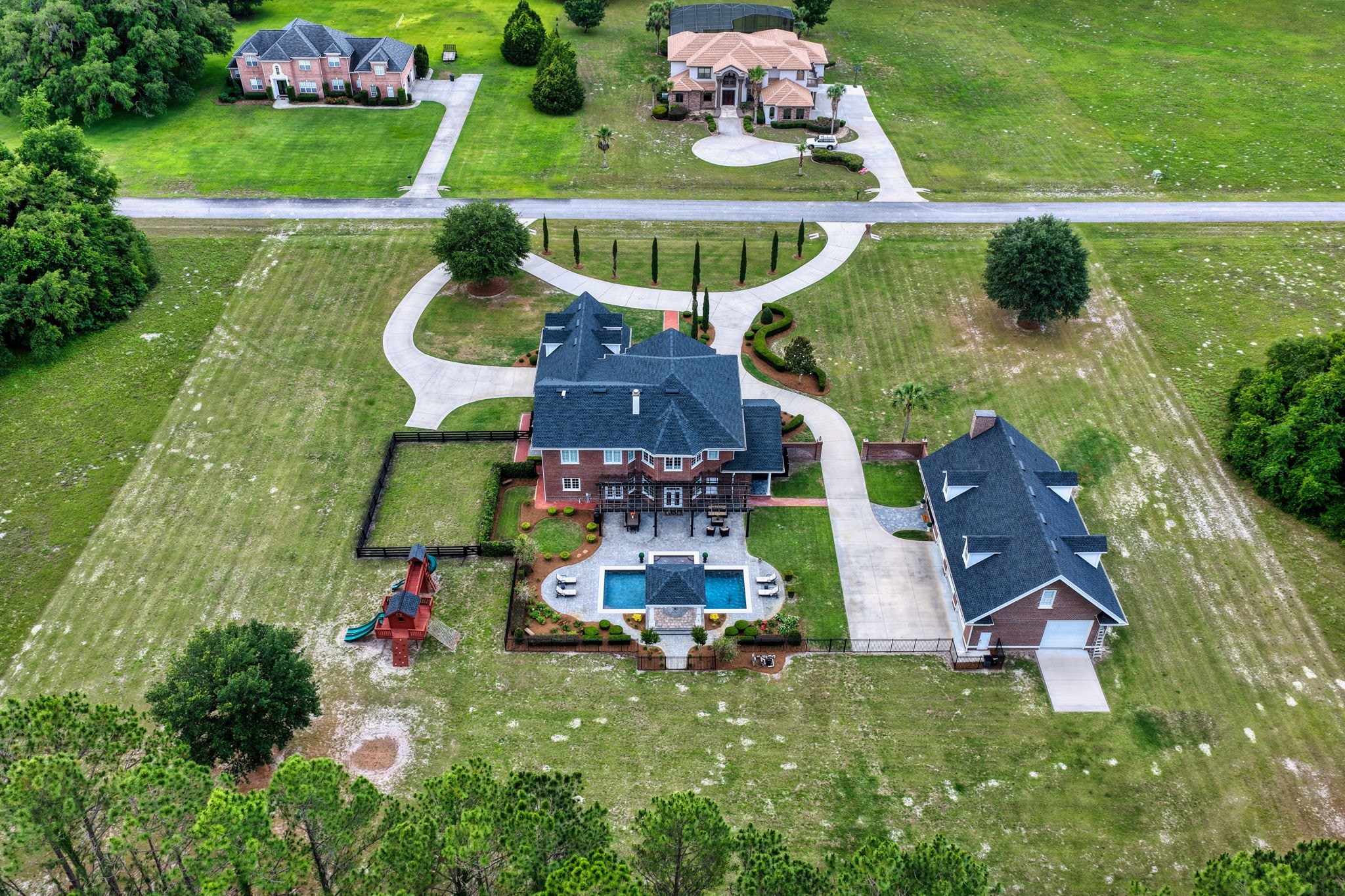
- High oblique shots, taken at an angle, show the property the way a person imagines it, with depth and context.
- Straight-down shots show the shape of the parcel clearly and make the boundary easy to read.
For larger tracts, an ortho map stitches hundreds of overhead photos into one detailed map of the entire property. We explain that in our post on orthomosaic maps for large acreage, and on our drone mapping page.
Put the boundary photo right after the best aerial
Order matters. We recommend placing the boundary photo directly after your strongest aerial, so buyers see the beauty first and the facts second. Keep a clean version without lines too, for social media and print.
Selling land in North Florida?
Sky Monkey Media photographs land across Levy, Gilchrist, Dixie, Marion, Alachua and surrounding counties, with property boundary overlays and feature callouts included in our land packages. Book a land shoot or read our guide to photographing vacant land in Florida.
Explore Topics
Written by
Sky Monkey Media
Content creator and writer sharing insights and stories.