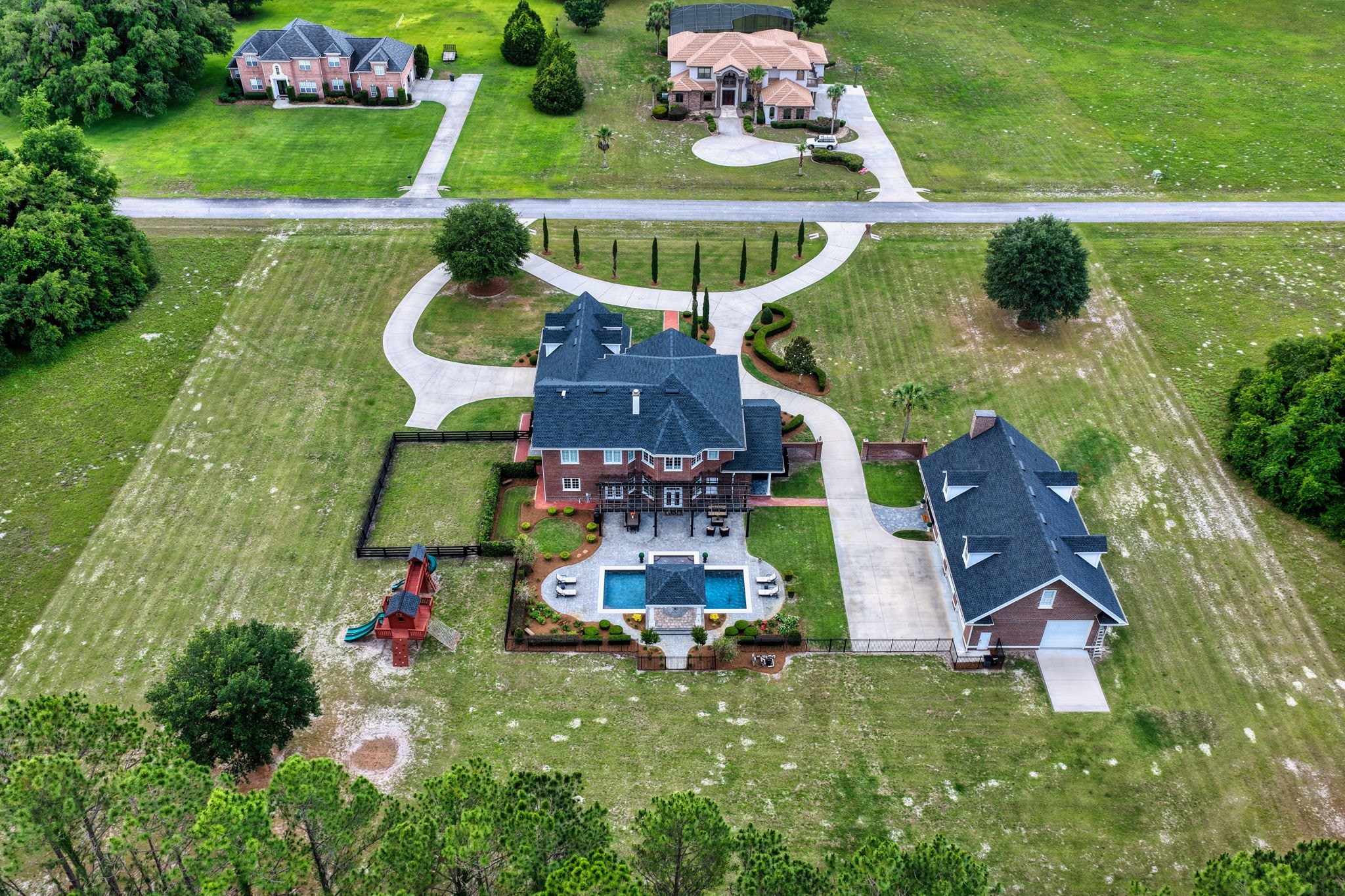
Hunting Land and Timber Tract Photography in North Florida
Hunting land and timber buyers want to see access, cover, water and boundaries. Here is how drone photography and video help sell recreational land in North Florida.
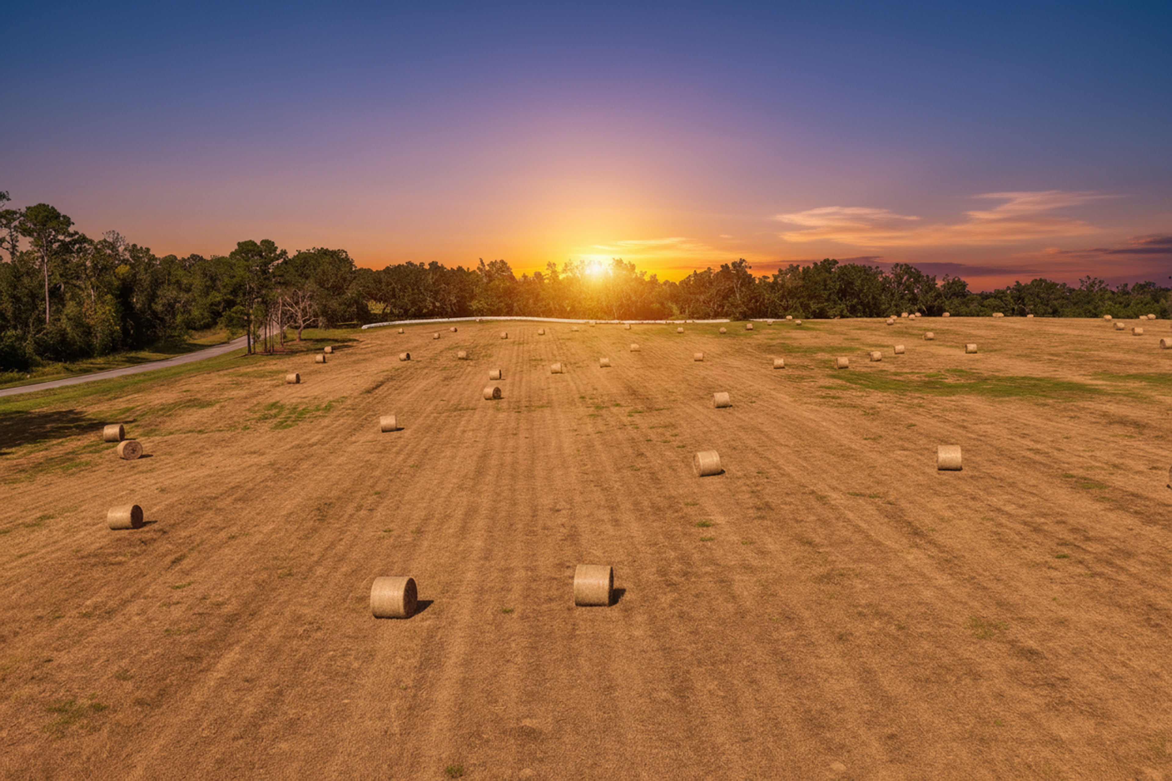
Hunting Land and Timber Tract Photography in North Florida
North Florida has some of the best recreational land in the state. Planted pines, hardwood bottoms, creeks and swamps run through Levy, Dixie, Gilchrist, Lafayette and Taylor counties, and some tracts border large public areas like Goethe State Forest or the Big Bend Wildlife Management Area. Buyers for this kind of property are hunters, timber investors and families who want a place to get away. They are also some of the most detail-oriented buyers there are.
Hunting land photography has a different job than home photography. Nobody needs to see a kitchen. They need to understand the land.
What hunting and timber buyers want to see
- Boundaries. How big is it really, and what shape is it?
- Access. Where is the road frontage? Are there interior trails a truck can use?
- Cover and habitat. Where do the pines end and the hardwoods begin? Where are the thickets and edges?
- Water. Ponds, creeks, sloughs and wetlands, and how they connect.
- Improvements. Food plots, stands, blinds, gates, a camp or cabin, a pole barn.
- Neighbors. What borders the property: other timber, farms, homes or public land.
Aerial photos do most of the work
From the ground, a timber tract looks like trees. From the air, it becomes a map buyers can read. We fly each property under FAA Part 107 and capture:
- High overview shots with the property boundary drawn in, so buyers see the full tract at once.
- Callouts for trails, food plots, water and the camp or cabin.
- Lower angled shots over the best features, like a creek bottom or a long pine row.
Boundary lines come from public parcel data and are labeled as approximate. For large tracts, an ortho map, a single stitched map of the whole property, gives buyers a detailed top-down view they can study and share with a forester. Learn more on our drone mapping page.
Video sells the feeling
A slow aerial video that follows the main trail, rises over the tree line and ends over the water lets an out-of-town buyer understand a property before they make a six-hour drive to walk it. Keep it short, between 30 and 60 seconds, with simple text labels for the key features.
Timing and safety
- Leaf-off months in late fall and winter show the terrain, trails and water more clearly through the hardwoods.
- Spring and summer show green growth and food plots at their best.
- Hunting season runs through much of fall and winter. We coordinate with the owner or any lease holders before a shoot so nobody is in the woods while we are flying.
Ground photos still matter
A few well-chosen ground photos round out the listing: the entrance gate, the camp, a stand overlooking a plot and the view down a trail. Owner trail camera photos can add a lot too, as long as they are clearly the owner's photos.
Selling recreational land?
Sky Monkey Media photographs hunting land, timber and acreage across North Central Florida and the Big Bend. Our land packages include aerial photos, a property boundary overlay and feature callouts. Book a land shoot, or read about property lines on aerial photos.
Explore Topics
Written by
Sky Monkey Media
Content creator and writer sharing insights and stories.