Drone Photography for Commercial Real Estate: What Every Broker Needs to Know
Commercial real estate buyers and tenants evaluate properties differently than residential buyers. Here is how drone photography addresses the specific due-diligence questions that drive commercial real estate decisions.
Commercial real estate buyers and tenants are not buying a lifestyle. They are making a business decision — and the information they need to make that decision is fundamentally different from what a residential buyer needs.
A retail tenant evaluating a strip center in Lake City needs to know the traffic count on the adjacent road, the visibility from the highway, the parking ratio, and the proximity to anchor tenants. A logistics company evaluating a warehouse in Alachua County needs to know the clear height, the dock door count, the truck court depth, and the distance to the nearest interstate interchange.
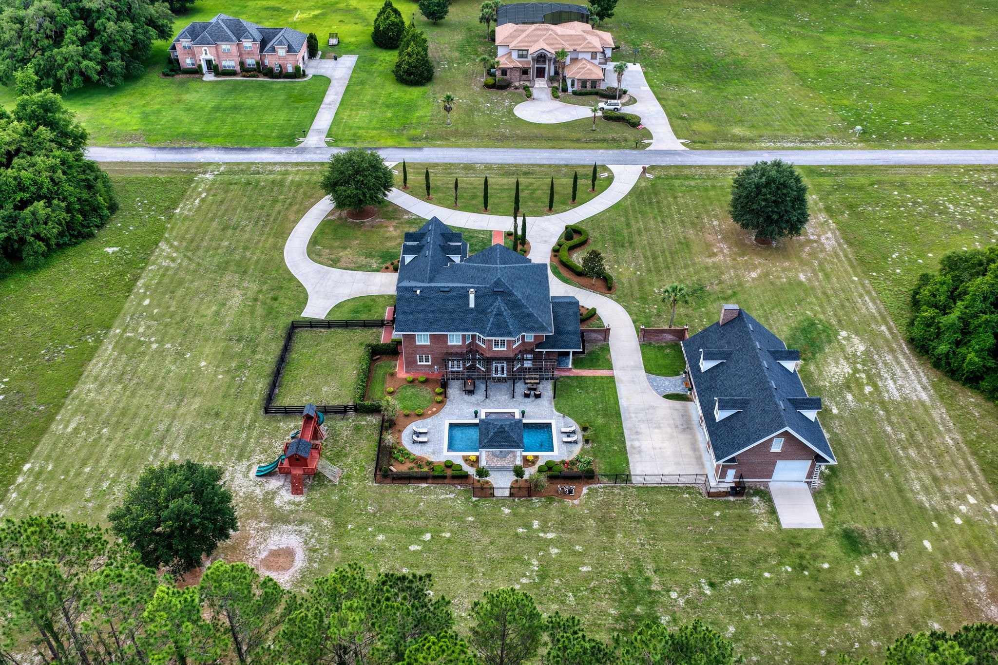
Drone photography is the most efficient tool for answering these questions visually — and for presenting commercial properties in a way that attracts serious buyers and tenants.
What Commercial Buyers Need to See
Site and Access
The relationship between a commercial property and its access points is often the most critical factor in a leasing or purchase decision. Drone photography can show:
- The property's frontage on major roads and its visibility to passing traffic
- The number and location of access points (driveways, curb cuts)
- The truck court layout and the ability to accommodate large vehicles
- The parking lot layout, capacity, and condition
- The relationship between the building and the street
Surrounding Context
Commercial real estate value is heavily influenced by what surrounds it. Aerial photography provides the context that ground-level photos cannot:
- The density and character of the surrounding development
- The proximity to major highways, interchanges, and transportation infrastructure
- The location of competing businesses and complementary tenants
- The visibility of the property from major traffic corridors
Building and Site Condition
For buyers evaluating a commercial property for purchase, the condition of the roof, parking lot, and site infrastructure is critical due-diligence information. Aerial photography provides a comprehensive view of:
- Roof condition — drainage, HVAC equipment, skylights, and visible damage
- Parking lot condition — cracking, striping, drainage, and lighting
- Site drainage and grading
- Perimeter fencing and security infrastructure
Industrial and Warehouse Properties
Industrial properties in North Florida — particularly along the I-75 and I-10 corridors — are in high demand from logistics, distribution, and manufacturing tenants. For these properties, drone photography should emphasize:
Dock door count and configuration — The number, size, and layout of dock doors is a primary specification for logistics tenants. An aerial view showing the full dock door array is more informative than any ground-level photo.
Truck court depth — The depth of the truck court determines what size vehicles can maneuver safely. An aerial view with a scale reference communicates this clearly.
Rail access — For properties with rail access, aerial photography showing the rail spur and its relationship to the building is essential marketing content.
Expansion potential — For properties with available land for expansion, aerial photography showing the developable area is a significant selling point.
Retail and Mixed-Use Properties
For retail properties, the aerial perspective is primarily about visibility and traffic. Drone photography should capture:
- The property's visibility from the primary traffic corridor
- The relationship between the building, the parking lot, and the street
- The proximity to anchor tenants and traffic generators
- The signage opportunities and their visibility from the road
Office Properties
For office properties, drone photography provides context about the campus environment, the parking situation, and the surrounding amenities that influence tenant decisions:
- Campus layout and building relationships
- Parking ratio and proximity to the building entrances
- Proximity to restaurants, hotels, and services
- The quality and character of the surrounding development
Sky Monkey Media serves commercial real estate brokers and developers throughout North Florida with professional drone photography, aerial video, and site documentation services. Our FAA Part 107 certified pilots understand the specific requirements of commercial real estate marketing and deliver content that supports the leasing and sales process.
Explore Topics
Written by
Sky Monkey Media
Content creator and writer sharing insights and stories.