How to Photograph Vacant Land Listings in Florida
Vacant land is the hardest property type to photograph — and the most dependent on drone technology. Here is the complete approach for acreage, agricultural, and development parcels in North Florida.
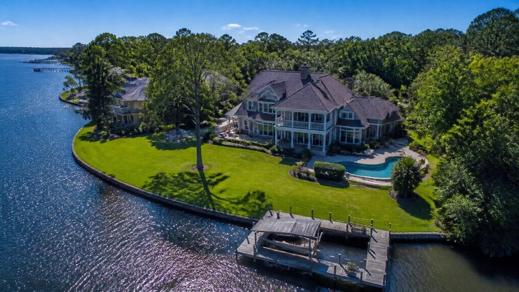
Vacant land is the most challenging property type to market effectively. There is no kitchen to stage, no living room to light, no architectural detail to highlight. What you have is earth, sky, trees, and the potential of what could be built. Communicating that potential to a buyer requires a completely different approach than residential photography — and it is almost entirely dependent on drone technology.
Why Ground-Level Photography Fails for Land
Stand at the edge of a 10-acre parcel and take a photo. What do you get? Trees. Grass. Maybe a fence line. The image communicates almost nothing about the property's size, shape, topography, or relationship to surrounding roads and landmarks.
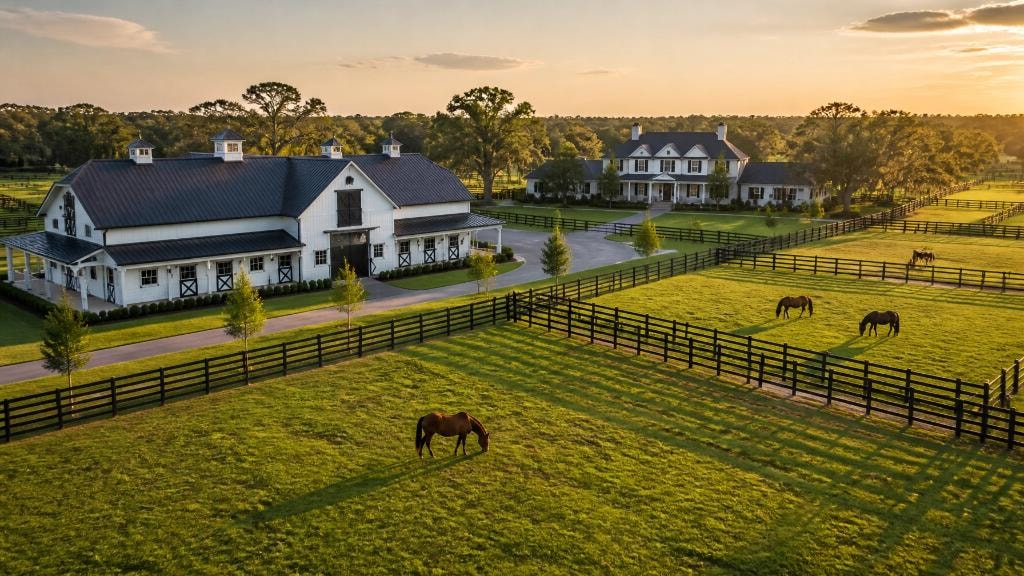
Now fly a drone to 300 feet and capture the same parcel. Suddenly the buyer can see the entire property boundary, the tree coverage versus open pasture, the proximity to the road, the drainage patterns, and the neighboring land use. In a single frame, the buyer understands the property in a way that would take 20 ground-level photos to approximate.
For vacant land listings in North Florida, drone photography is not an add-on — it is the primary deliverable.
Essential Drone Shots for Land Listings
Boundary overview — A high-altitude shot (200–400 feet) that shows the entire parcel with clear boundary lines. This is the hero shot for any land listing.
Corner-to-corner diagonal — A lower-altitude shot that flies diagonally across the property, showing the depth and width of the parcel from a perspective that feels immersive.
Road frontage — A shot from the road looking into the property, showing access points and the relationship between the parcel and the public road.
Topography pass — A series of shots at varying altitudes that reveal the terrain — hills, depressions, drainage features, and elevation changes.
Surrounding context — Shots that show what is adjacent to the property: conservation land, other agricultural parcels, residential development, or commercial corridors.
Orthomosaic Maps for Development Parcels
For parcels being marketed for development or investment, a drone-generated orthomosaic map adds significant value. This is a geometrically corrected, top-down map of the property that allows buyers to measure distances, calculate acreage, and plan site layouts directly on the image.
For commercial or industrial land listings, an orthomosaic map combined with a digital elevation model (DEM) provides the data that developers and engineers need to evaluate the site without an initial site visit.
Timing and Light for Land Photography
The best time to photograph vacant land in North Florida is early morning or late afternoon, when the low sun angle creates shadows that reveal topography. Flat midday light flattens the terrain and makes the land look less interesting than it is.
For agricultural land with crops or pasture, spring and early summer provide the most visually compelling conditions — green grass, full tree canopy, and the warm Florida light that makes the land look productive and inviting.
Conclusion
Vacant land listings deserve the same level of professional attention as luxury homes. The right drone photography strategy can transform a difficult-to-visualize parcel into a compelling listing that attracts motivated buyers. Sky Monkey Media provides FAA Part 107 certified drone services for land listings throughout North Central Florida. Contact us to discuss your next land listing.
Explore Topics
Written by
Sky Monkey Media
Content creator and writer sharing insights and stories.