Selling Land and Acreage: Why Aerial Photography Is Non-Negotiable for Large Listings
Ground-level photos cannot tell the story of a 20-acre horse farm or a 5-acre riverfront parcel. Here is why drone photography is the single most important tool for marketing acreage listings in North Florida.
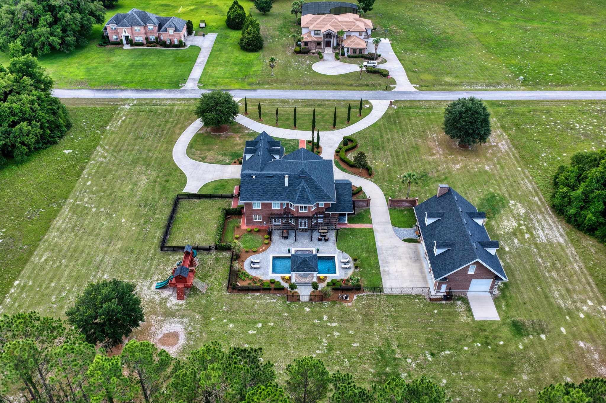
A 20-acre horse farm in Marion County is not a house. It is a land investment, a lifestyle purchase, and a complex piece of infrastructure — paddocks, barns, water systems, fencing, and access roads — that cannot be communicated through interior photos and a front elevation shot.
Yet agents list acreage properties this way every day. And buyers scroll past them.
Aerial drone photography is not optional for large-acreage listings. It is the only medium that can tell the complete story of what a buyer is actually purchasing.
What Ground-Level Photos Cannot Show
When a buyer looks at a 10-acre parcel through ground-level photography, they see fragments. A barn door. A fence line. A field. They have no sense of:
- How the acreage is laid out relative to the road
- Where the property boundaries actually fall
- How the outbuildings relate to each other and to the main residence
- What the land looks like from a practical management perspective
- Whether the property is surrounded by similar land or adjacent to commercial development
These are not aesthetic questions. They are the core due-diligence questions that determine whether a buyer schedules a showing or moves on.
What Aerial Photography Reveals
A well-executed drone shoot for an acreage listing answers all of those questions before the buyer ever picks up the phone.
Boundary definition — High-altitude shots with GPS precision show exactly where the property lines fall, how much road frontage exists, and how the parcel relates to neighboring properties.
Infrastructure overview — An aerial perspective shows the full layout of barns, arenas, paddocks, water features, and access roads in a single frame. Buyers can immediately assess whether the infrastructure meets their needs.
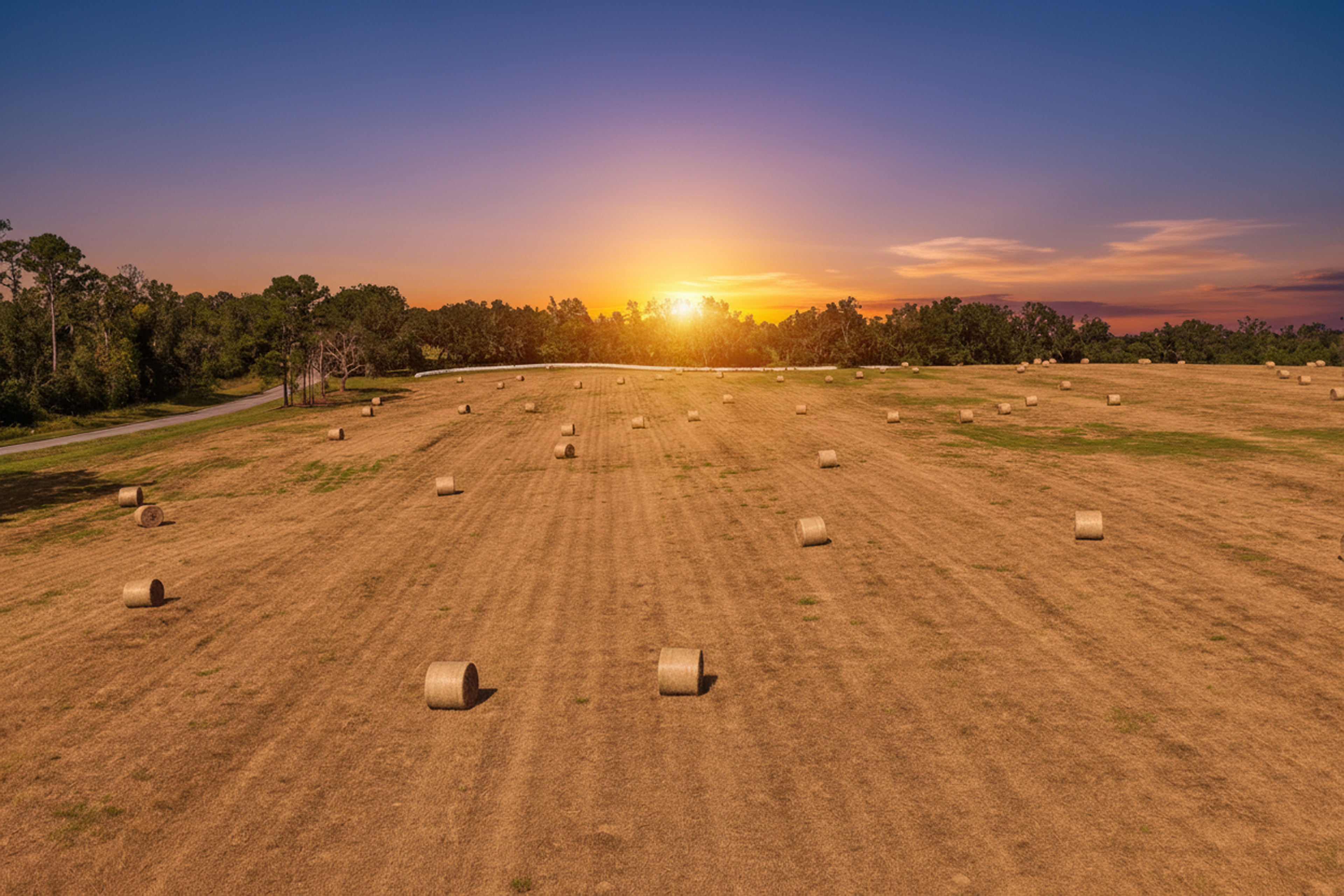
Topography and drainage — Flat aerial shots reveal slope, low spots, and drainage patterns that are invisible from the ground. For agricultural buyers, this is critical information.
Proximity context — Drone footage can show the property's relationship to nearby towns, highways, equestrian facilities, and natural features like rivers or state forests.
The Equestrian Market in Marion County
Ocala and the surrounding Marion County area represent one of the most active equestrian real estate markets in the world. Properties here range from 5-acre hobby farms to 500-acre thoroughbred training facilities, and buyers are often relocating from Kentucky, California, or Europe.
These buyers are making decisions remotely. They are evaluating dozens of properties online before committing to a flight to Florida. An aerial package that clearly shows:
- The number and condition of paddocks
- Arena dimensions and footing type
- Barn layout and stall count
- Water access and irrigation infrastructure
- Proximity to the World Equestrian Center or other training hubs
...is not just helpful. It is the difference between a showing and a pass.
Regulatory Compliance for Acreage Shoots
Large rural properties often fall within or near controlled airspace, agricultural flight restriction zones, or areas requiring special authorization. All Sky Monkey Media drone operations are conducted by FAA Part 107 certified pilots who understand how to obtain the necessary authorizations and operate safely in complex airspace environments.
This matters for acreage listings because rural properties frequently border airports, military training areas, or wildlife management zones that require advance coordination with the FAA.
Building the Complete Acreage Media Package
For large-acreage listings, we recommend combining aerial photography with:
Drone video — A cinematic flyover that establishes the scale of the property and creates an emotional connection with the land.
Ground-level photography — Interior shots of the residence, barn interiors, and key infrastructure details that the drone cannot capture up close.
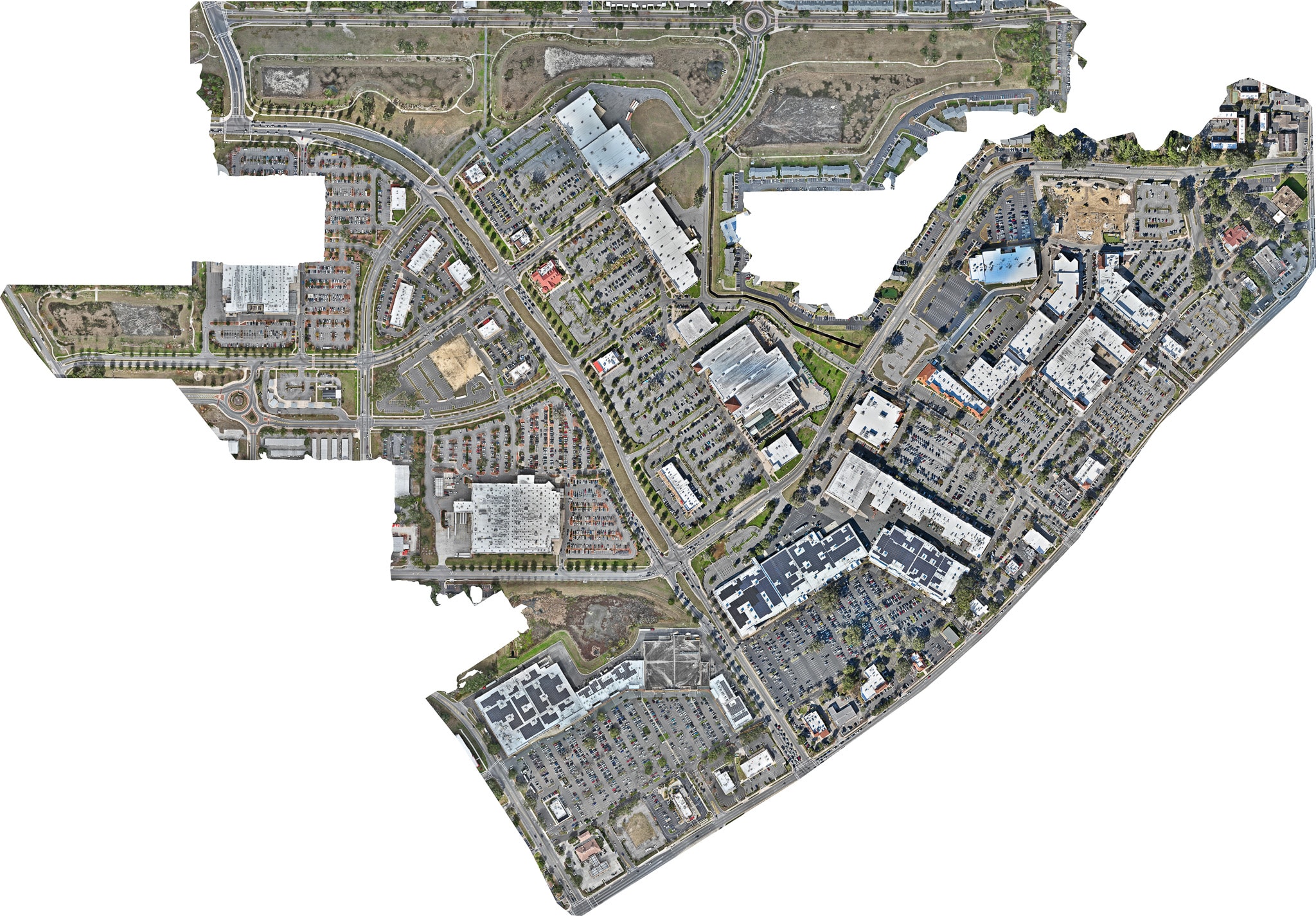
Site plans and boundary overlays — GPS-accurate boundary lines overlaid on aerial imagery, giving buyers a clear visual reference for the property dimensions.
Virtual tour — For properties with significant residential improvements, a 3D walkthrough of the main residence completes the package.
The goal is to give a remote buyer enough information to make a confident decision to visit — and enough confidence in the property to make an offer when they do.
Explore Topics
Written by
Sky Monkey Media
Content creator and writer sharing insights and stories.