Drone Mapping for Engineering and Site Planning in Florida
Engineering teams and site planners are using orthomosaic drone mapping to document existing conditions, coordinate projects, and reduce costly surprises during construction.
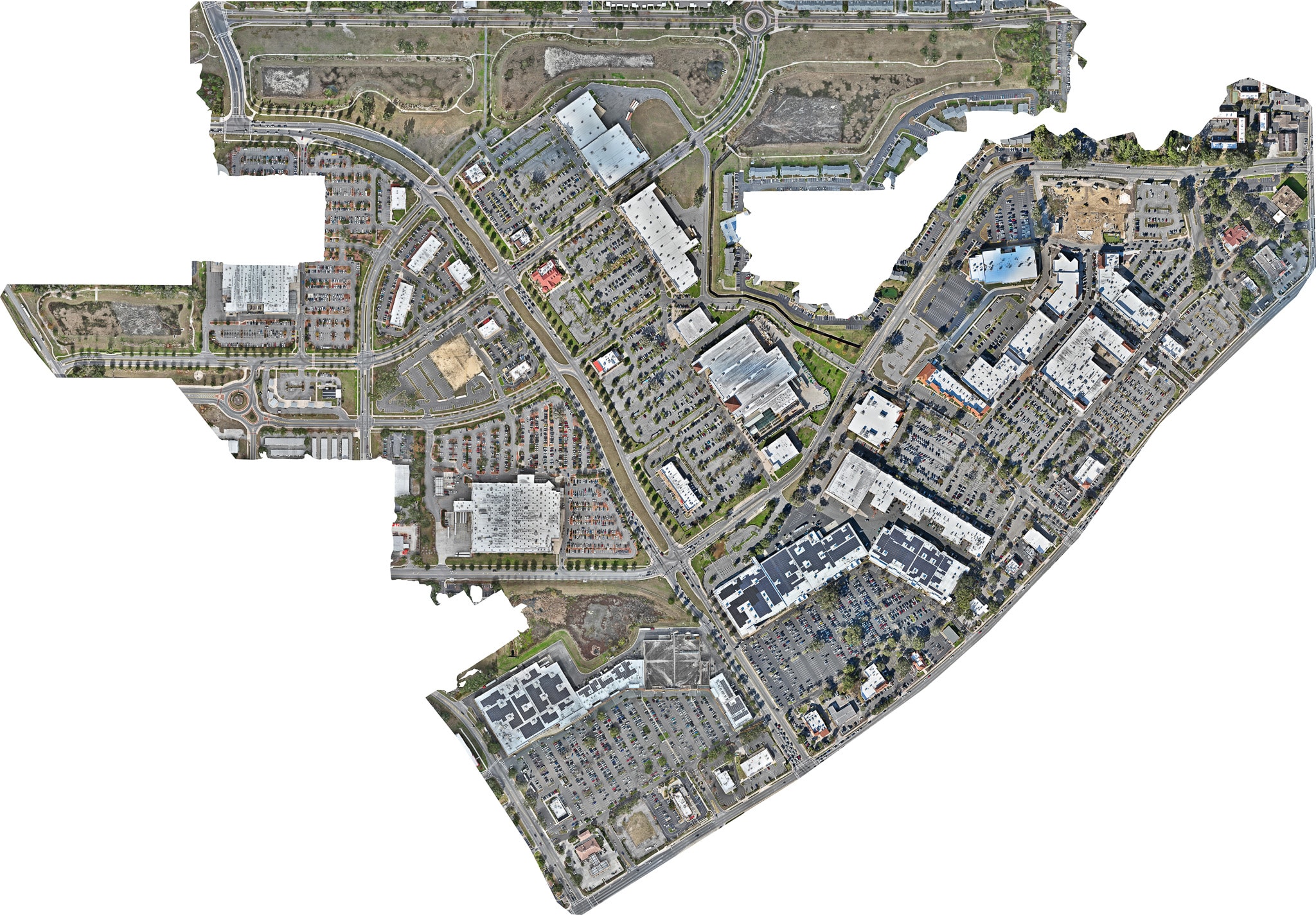
Engineering and site planning have always required accurate information about existing conditions. Traditionally, that information came from ground surveys — time-consuming, expensive, and limited in scope.
Orthomosaic drone mapping is changing that equation.
What Drone Mapping Provides for Engineering Teams
A high-resolution orthomosaic map gives engineering teams a complete, accurate picture of a site before a single shovel breaks ground. From the map, engineers can:
- Assess existing conditions — vegetation, drainage patterns, existing structures, and infrastructure
- Identify potential issues — drainage problems, encroachments, and site constraints
- Plan site layout — using the map as a base layer for design work
- Coordinate with other disciplines — sharing a common visual reference with architects, contractors, and owners
- Document pre-construction conditions — establishing a baseline for change order management
RTK Accuracy for Engineering Applications
Engineering applications require more accuracy than standard aerial photography. Sky Monkey Media uses RTK-enabled drone technology that significantly improves positional accuracy compared to standard GPS.
For projects requiring additional precision, Ground Control Points (GCPs) can be incorporated to further improve accuracy. We work with engineering teams to understand their accuracy requirements and design a mapping program that meets them.
Recurring Mapping During Construction
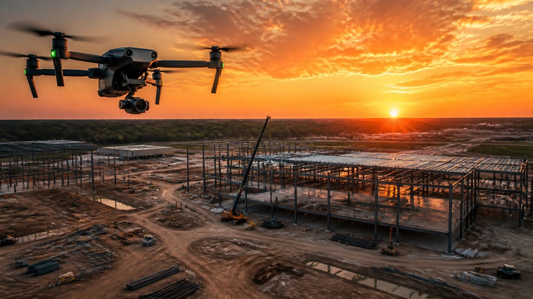
The value of drone mapping doesn't end when construction begins. Recurring mapping during construction allows engineering teams to:
- Verify that work is proceeding according to plan
- Document conditions at each phase for record-keeping
- Identify deviations from the design before they become costly problems
- Provide progress documentation for owner and lender reporting
Serving Florida Engineering and Planning Firms
Sky Monkey Media works with engineering firms, planning consultants, and developers throughout Florida. Our mapping services are designed to integrate with existing workflows and deliver data in formats that engineering teams can use directly.
Contact us to discuss your project's mapping requirements.