Drone Mapping for Commercial Development: From Groundbreaking to Grand Opening
Commercial developers are using recurring drone mapping to document progress, communicate with stakeholders, and create marketing content throughout every phase of construction.
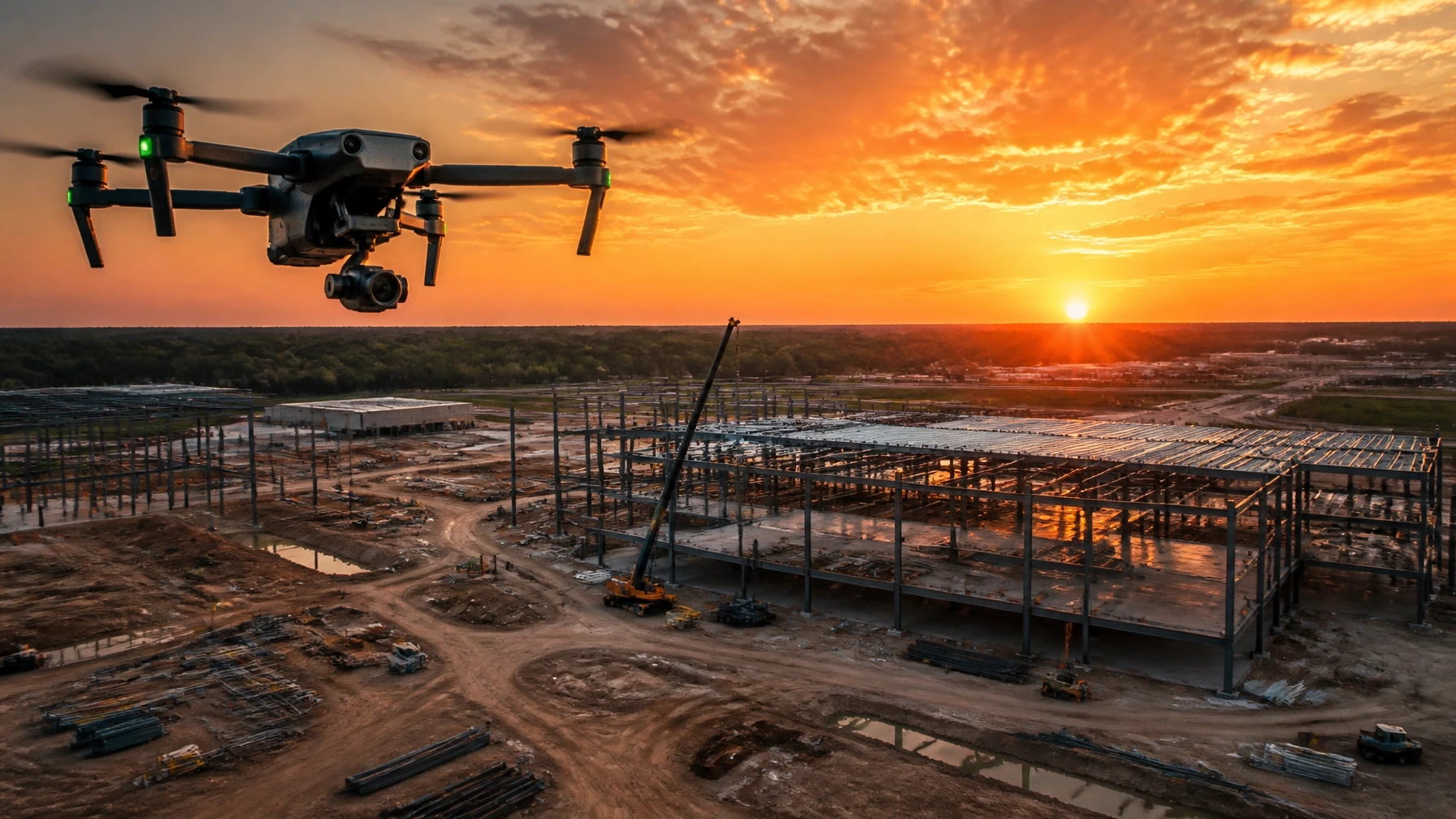
A commercial development project can take two, three, or five years from groundbreaking to grand opening. That's a long time to keep owners, investors, lenders, and future tenants informed and engaged.
Recurring drone mapping solves that communication challenge — and creates a visual record that has value long after the project is complete.
The Documentation Challenge
Commercial development involves a lot of stakeholders. Owners want to see progress. Investors want to protect their investment. Lenders have reporting requirements. Future tenants want to know when they can move in. Architects and engineers need to verify conditions.
Traditionally, keeping all of these stakeholders informed required site visits, lengthy reports, and a lot of phone calls. Drone mapping changes that.
How Recurring Mapping Works
Sky Monkey Media establishes a mapping schedule at the start of a project — weekly, bi-weekly, or monthly, depending on the pace of construction and the reporting requirements.
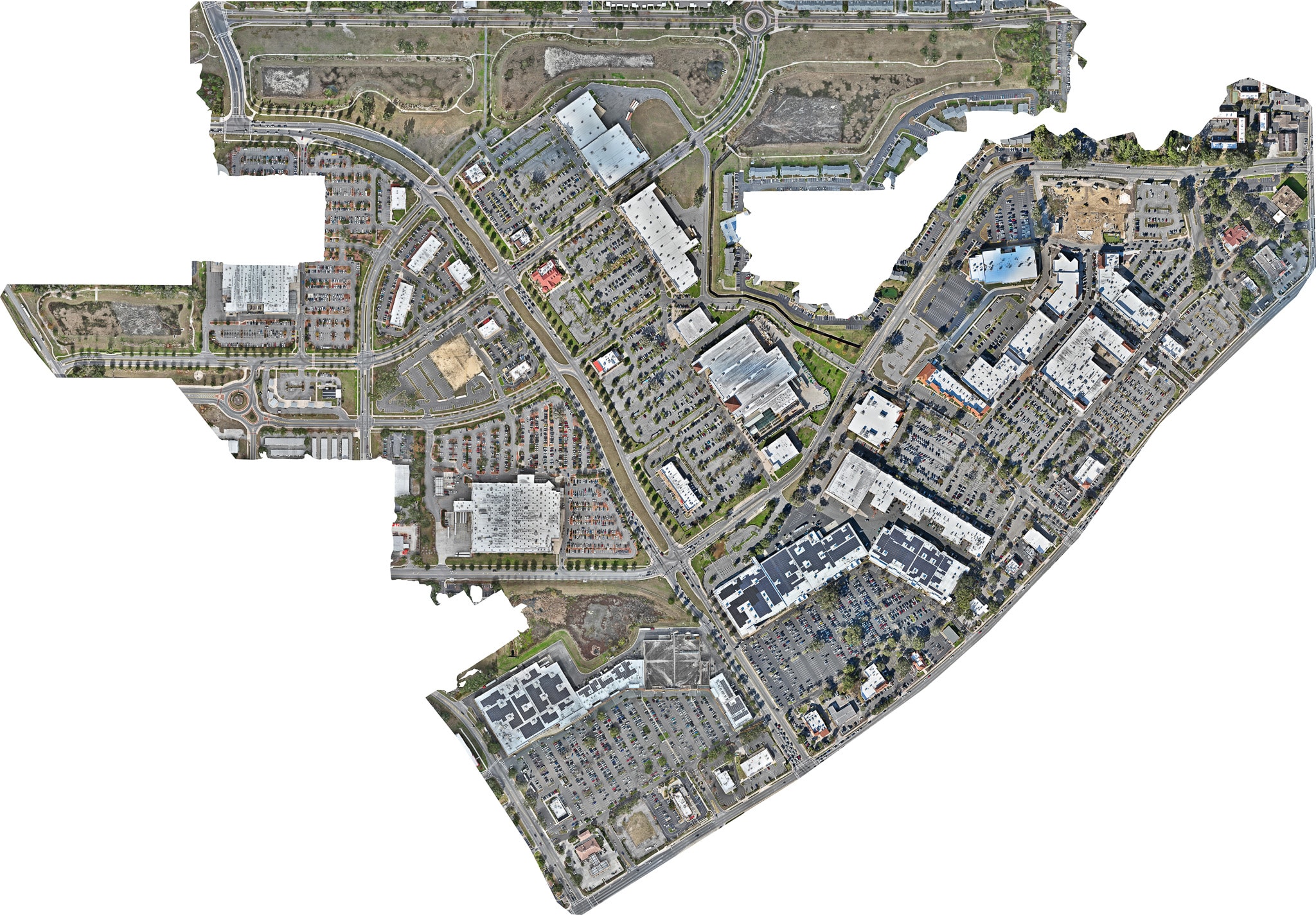
At each scheduled flight, we capture a complete orthomosaic of the site. The maps are delivered as high-resolution images and, when requested, as interactive online maps that stakeholders can access from any browser.
The result is a visual timeline of the project — a complete record of every phase, from raw land to finished development.
What the Maps Show
Each orthomosaic captures the current state of the site in measurable detail:
- Site preparation — grading, clearing, and utility work
- Foundation and structural work — footings, slabs, and framing
- Building envelope — roofing, exterior walls, and windows
- Site improvements — parking, landscaping, and infrastructure
- Finished product — the completed development ready for occupancy
Comparing maps from different dates shows exactly how the project has progressed — and provides documentation if questions arise about the sequence or timing of work.
Marketing Value
The visual timeline created by recurring drone mapping has marketing value beyond the construction phase. Developers can use the progression imagery in:
- Investor presentations
- Leasing materials
- Social media content
- Press releases and media coverage
- Future project pitches
Sky Monkey Media serves commercial development projects throughout Florida. Contact us to discuss a mapping program for your project.