Drone Mapping for Construction Projects in Florida: What You Need to Know
Orthomosaic drone mapping is transforming how Florida contractors document progress, communicate with owners, and protect themselves on every project.
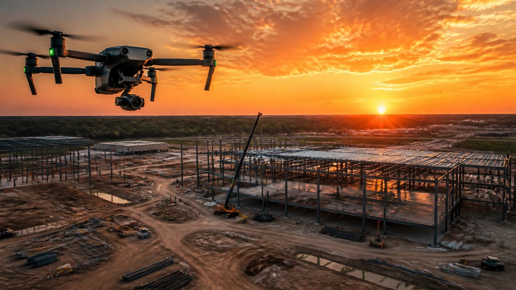
Construction projects move fast. Schedules shift, scopes change, and disputes happen. The contractors and developers who protect themselves best are the ones who document everything — and drone mapping is the most efficient way to do it.
What Is Construction Drone Mapping?
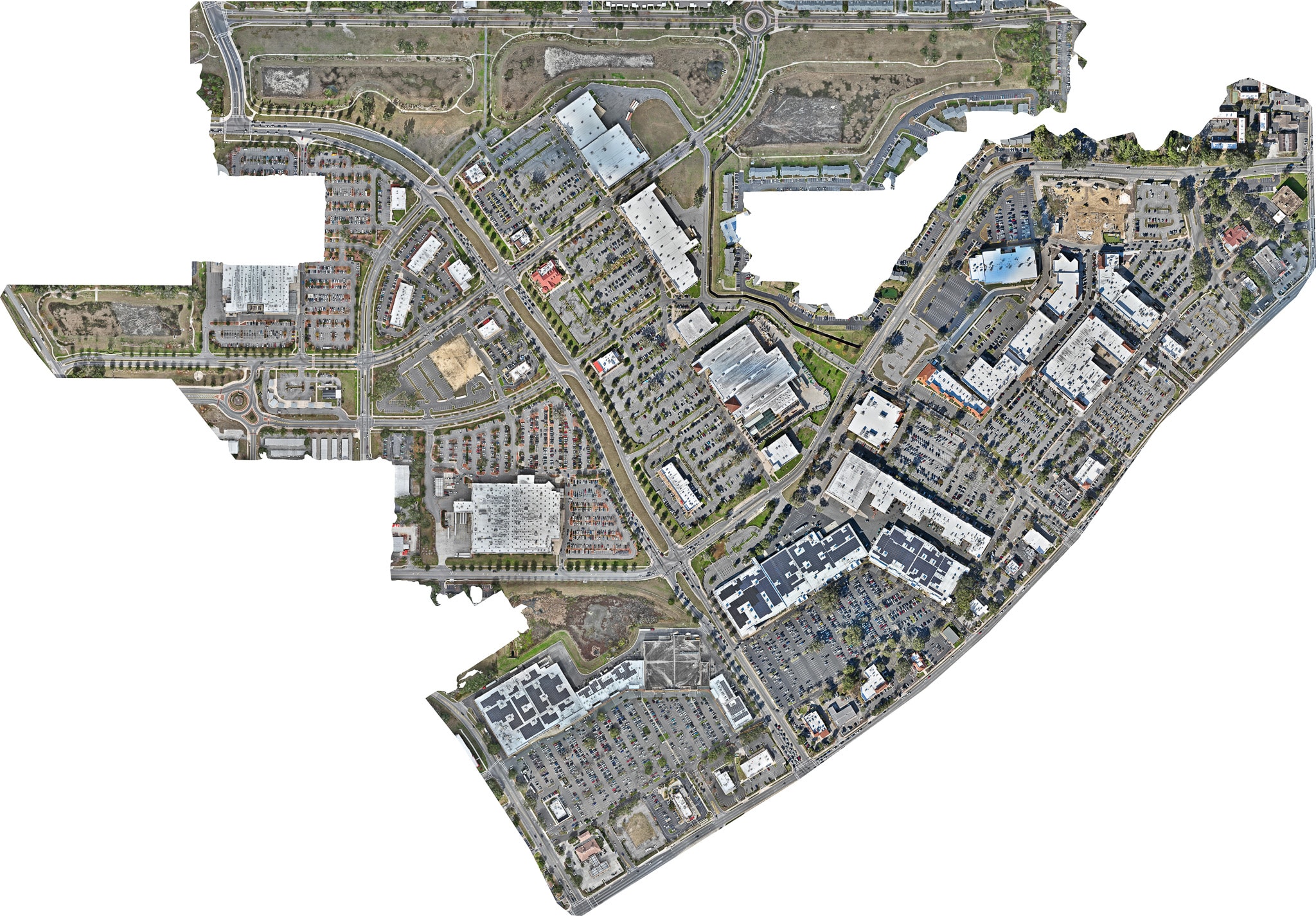
Construction drone mapping uses a drone to fly a precise, automated grid pattern over a job site, capturing hundreds of overlapping photographs. Those images are then processed into a single, seamless orthomosaic — a georeferenced aerial map that shows the entire site in accurate, measurable detail.
Unlike a standard aerial photo, an orthomosaic has no perspective distortion. Buildings are shown from directly above. Roads stay straight. Distances and areas can be measured directly from the finished map.
Why Florida Contractors Are Using It
Florida's construction market is one of the most active in the country. Commercial developments, residential communities, infrastructure projects, and mixed-use developments are breaking ground across the state every week.
With that volume of work comes a real need for reliable documentation:
- Owner and investor reporting — Show progress without scheduling site visits
- Dispute protection — Documented conditions at every phase
- Subcontractor coordination — Everyone works from the same current site view
- Change order support — Visual evidence of existing conditions before changes
RTK Accuracy Makes the Difference
Not all drone maps are created equal. Sky Monkey Media uses RTK-enabled drone technology, which improves positional accuracy during every flight.
Combined with professional processing through DroneDeploy and WebODM, RTK mapping produces consistent, reliable results that hold up to scrutiny — whether you're presenting to an owner, an engineer, or an attorney.
Recurring Documentation: The Real Value
A single map is useful. A series of maps is powerful.
When you capture your project on a regular schedule — weekly, bi-weekly, or monthly — you build a complete visual timeline from groundbreaking through completion. That timeline becomes one of the most valuable assets on the project.
Owners can see progress without visiting the site. Investors can track their investment. Architects and engineers can verify conditions. And if a dispute ever arises, you have a documented record of exactly what the site looked like on any given date.
Serving Construction Projects Across Florida
Sky Monkey Media provides drone mapping services for construction projects throughout North and Central Florida, including Gainesville, Ocala, Jacksonville, and surrounding counties.
Whether you need a one-time documentation flight or a recurring mapping program, we can build a schedule that fits your project timeline.
Ready to add drone mapping to your next project? Contact us to discuss your needs.