Why Drone Photography Is Non-Negotiable for Florida Land Listings
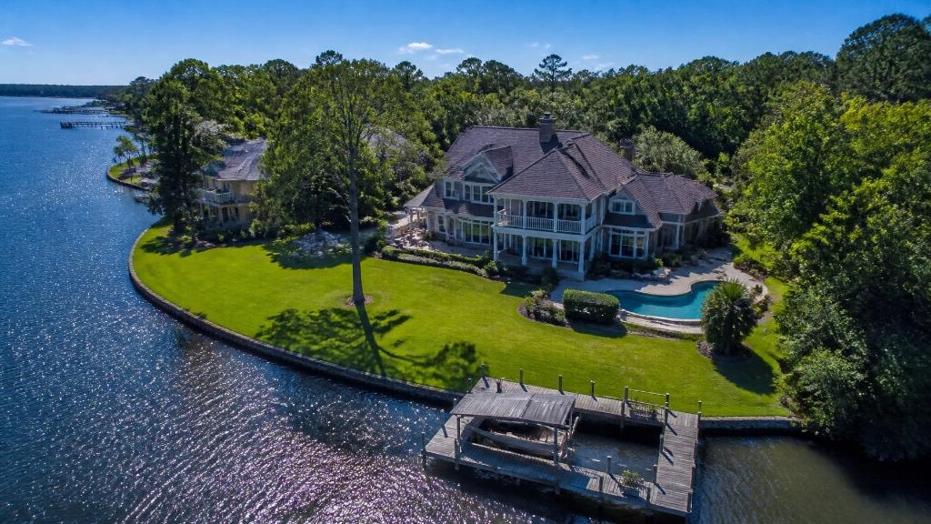
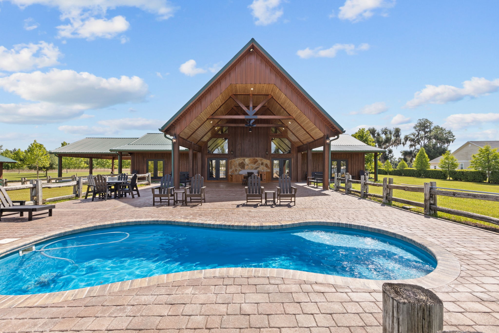
Ground-level photos can't tell the story of a land listing. Drone photography shows buyers what they're actually buying — and it changes how they engage with the listing.
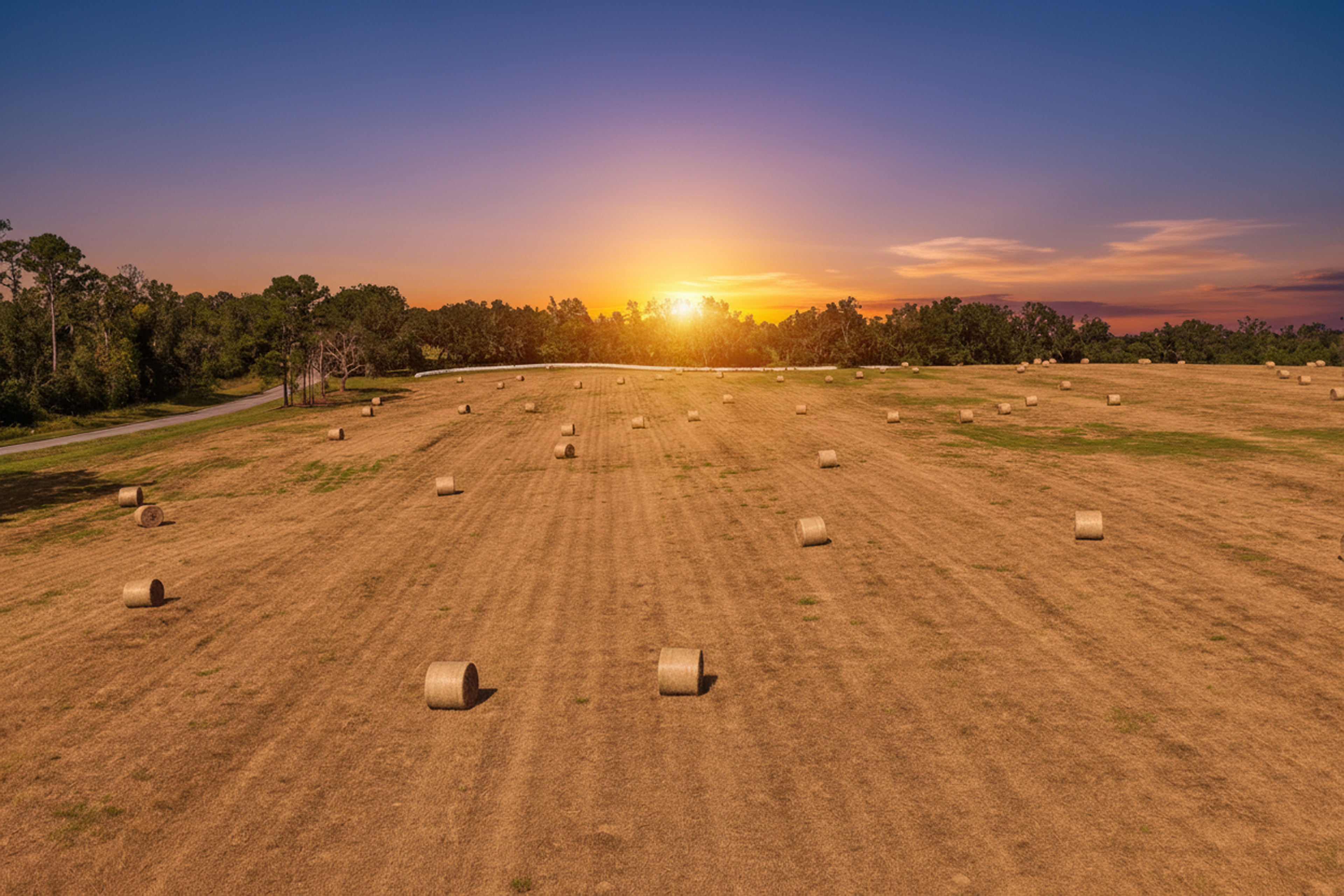
Selling land is different from selling a house. There's no kitchen to stage, no master suite to highlight, no curb appeal to capture from the street. What you're selling is the land itself — its size, its character, its potential.
And the only way to truly show land is from the air.
What Ground-Level Photos Can't Show
A ground-level photo of a 50-acre parcel shows you a field. Maybe a tree line. Maybe a fence. It communicates almost nothing about what the buyer is actually purchasing.
Buyers looking at land listings need to understand:
- Scale — how big is this property, really?
- Topography — is it flat, rolling, or varied?
- Water features — ponds, creeks, wetlands, and their locations
- Timber and vegetation — the character and distribution of trees and ground cover
- Infrastructure — roads, fences, gates, outbuildings, and utilities
- Access — how do you get to the property, and from where?
None of these questions can be answered by a ground-level photo. All of them can be answered by a well-executed drone flight.
What Drone Photography Shows
From the air, a land listing comes to life. Buyers can see:
- The full extent of the property in a single frame
- The relationship between different parts of the parcel
- Water features and their relationship to the land
- Timber stands, pastures, and agricultural improvements
- Access roads and their condition
- The surrounding landscape and neighboring land uses
That visual information is what turns a browser into a buyer. It's what makes someone pick up the phone and schedule a showing.
Orthomosaic Mapping for Larger Parcels
For larger parcels — 50 acres and up — orthomosaic mapping takes drone photography to the next level. Instead of a series of individual aerial photos, an orthomosaic is a single, seamless, georeferenced map of the entire property.
Buyers can zoom in to examine specific areas, measure distances, and understand the property in a way that no collection of individual photos can provide.
Sky Monkey Media provides drone photography and orthomosaic mapping for land listings throughout Florida. Contact us to discuss your listing.