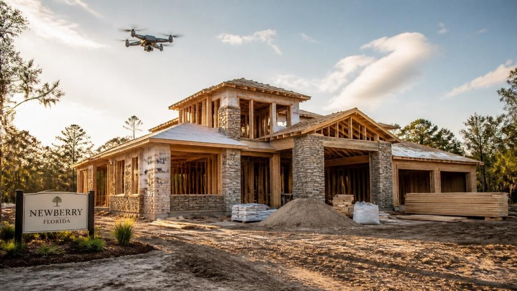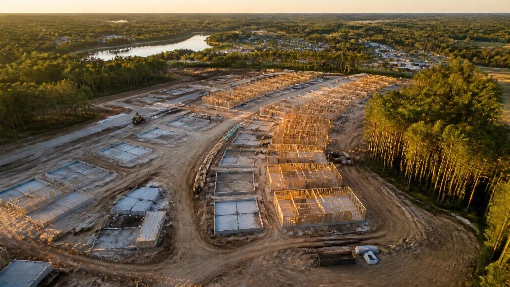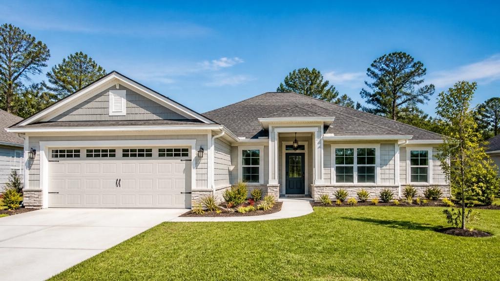
Construction Drone Mapping in Newberry, FL: Precision Site Planning
Traditional ground surveys take weeks. Drone mapping compresses that to hours — with denser data, sub-centimeter accuracy, and 3D terrain models that catch drainage and grading issues before a single excavator arrives.
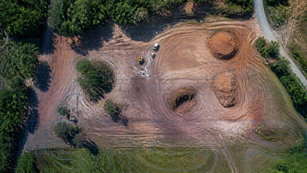
The landscape of Newberry, FL is undergoing a rapid transformation. As residential subdivisions and commercial developments expand westward from Gainesville, the margin for error in site planning has narrowed. For developers and project managers, the traditional methods of land surveying — while accurate — often struggle to keep pace with the aggressive timelines of modern construction.
Construction drone mapping has emerged as a strategic necessity in North Central Florida. By utilizing advanced UAV technology, firms are now able to capture high-resolution, actionable data that informs every stage of a project, from initial due diligence to the final site inspection. This shift is not merely about "taking pictures" from the sky — it is about generating precision-grade digital twins of the earth.
Beyond Aerial Photos: What Is Construction Drone Mapping?
To understand the value of this technology, it is essential to distinguish between standard aerial photography and construction drone mapping. While a photo provides a visual reference, a map provides data.
Our process involves capturing hundreds — sometimes thousands — of overlapping high-definition images. These are processed using photogrammetry software to create three primary deliverables:
Orthomosaic maps — A high-resolution, top-down map that is geometrically corrected so that the scale is uniform. You can measure distances and areas directly on this map with sub-centimeter accuracy.
3D mesh models — A digital recreation of the site that allows stakeholders to rotate, tilt, and fly through the terrain virtually.
Digital Surface Models (DSM) — Elevation data that highlights every contour, stockpile, and depression on the property.
By integrating these tools into the site planning phase, Newberry developers can identify potential obstacles — such as hidden drainage issues or utility conflicts — long before a single excavator arrives on-site.
Accelerating Site Planning in Newberry, FL
In the construction industry, time is the most volatile variable. Traditional ground surveys for large-scale developments in Alachua County can take weeks to schedule, execute, and process. Construction drone mapping significantly compresses this timeline.
Research indicates that drone-based site surveys are approximately 60% faster than conventional methods. A hundred-acre site that might take a ground crew several days to traverse can be mapped in a matter of hours. This speed does not come at the expense of quality — rather, it provides a more dense data set than a manual survey, capturing thousands of points rather than just a few hundred.
For planners, this means:
- Immediate feedback — High-quality data is often available within 24 to 48 hours of the flight.
- Reduced site visits — Stakeholders can conduct virtual site walks, reducing the need for travel to and from the project location.
- Real-time progress tracking — Regular flights allow for "as-built" comparisons against the original site plans.
Optimizing Earthwork and Drainage: The Florida Factor
Newberry's topography, like much of North Florida, presents unique challenges regarding water management. With intense seasonal rainfall and relatively flat terrain, drainage design is the cornerstone of a successful site plan.
Precision site planning requires a deep understanding of how water will move across the property. Drone mapping provides detailed topographic data that allows engineers to:
Quantify cut and fill — Calculate the exact volume of dirt that needs to be moved, minimizing the expensive transport of fill material.
Plan retention ponds — Use elevation models to find the natural low points of the site for optimal pond placement.
Verify grading — Ensure that building pads and road sub-bases are at the correct elevation to prevent future flooding issues.
When these factors are managed accurately during the planning phase, the ROI is realized through a massive reduction in rework and material waste.
Streamlining the Permitting Process
Navigating the regulatory environment in Newberry and Alachua County requires comprehensive documentation. Incomplete or inaccurate initial submittals are a leading cause of project delays.
Using drone-generated data can lead to a 40% reduction in permit preparation time. Because the data is visual and measurable, it provides a "single source of truth" that planning boards and environmental agencies can easily interpret. High-resolution maps and elevation models support more complete initial applications for:
Environmental constraints — Identifying wetlands or protected buffers with geographic precision.
Stormwater reports — Providing the granular data needed for civil engineering certifications.
Public hearings — Utilizing 3D models to show the community and planners exactly how a project fits into the existing landscape.
Visualizing Site Logistics and Safety
Beyond the technical engineering data, drone mapping is an invaluable tool for site logistics. A project manager can use a current orthomosaic map to plan:
Material laydown areas — Identifying where to store lumber, pipe, or steel to minimize interference with equipment movement.
Construction entrances — Planning truck routes that minimize impact on local Newberry traffic.
Safety buffers — Visually verifying that fencing and silt barriers are properly installed and maintained.
By having a current, high-definition view of the site, safety risks are identified from the office rather than discovered in the field. This proactive approach to site planning protects both the workforce and the project's bottom line.
Strategic Advantage in North Central Florida
As development continues to push into the North Central Florida region, the firms that adopt precision technologies will be the ones that deliver projects on time and under budget. Construction drone mapping in Newberry is no longer a luxury for "mega-projects" — it is a scalable solution that provides value to small commercial sites and large subdivisions alike.
Sky Monkey Media specializes in providing the high-definition visuals and data-driven maps that power successful developments. Our services are designed to integrate seamlessly into your existing workflow, providing the clarity needed to make informed decisions.
Whether you are in the due diligence phase of a new acquisition or managing the infrastructure rollout of a new community, precision mapping is your most effective tool for risk mitigation and strategic planning. Explore our drone mapping services or contact us to discuss your next Newberry project.
Explore Topics
Written by
Sky Monkey Media
Content creator and writer sharing insights and stories.